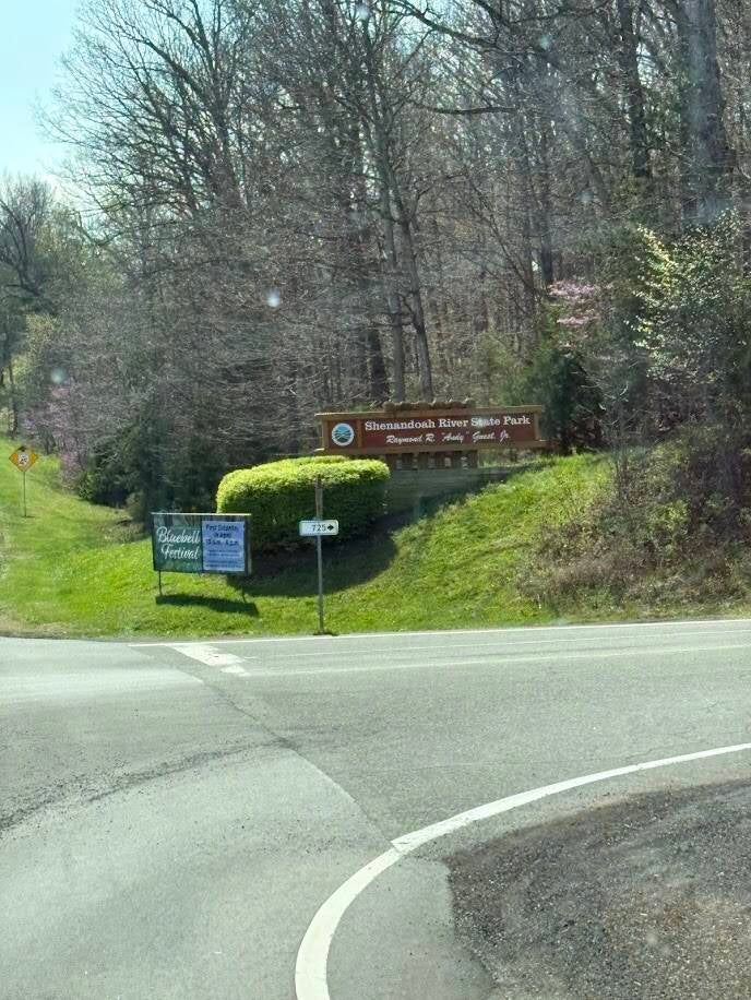
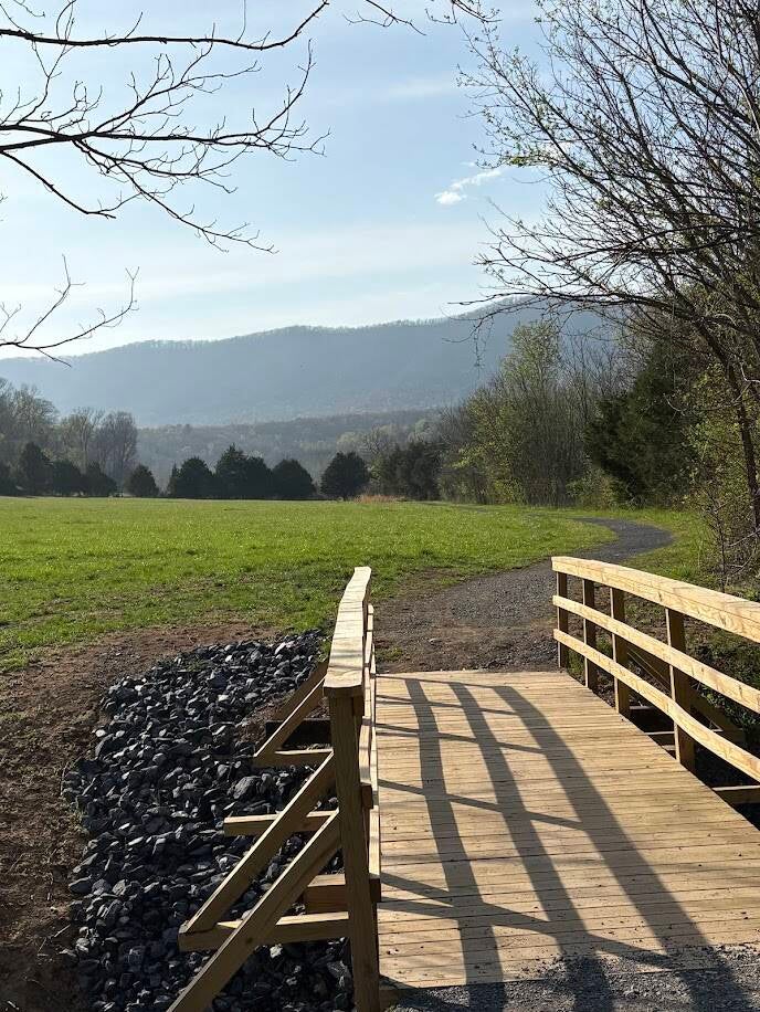
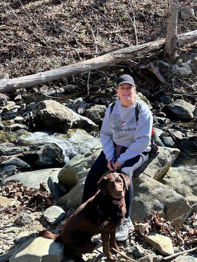
Shenandoah River State Park, VA
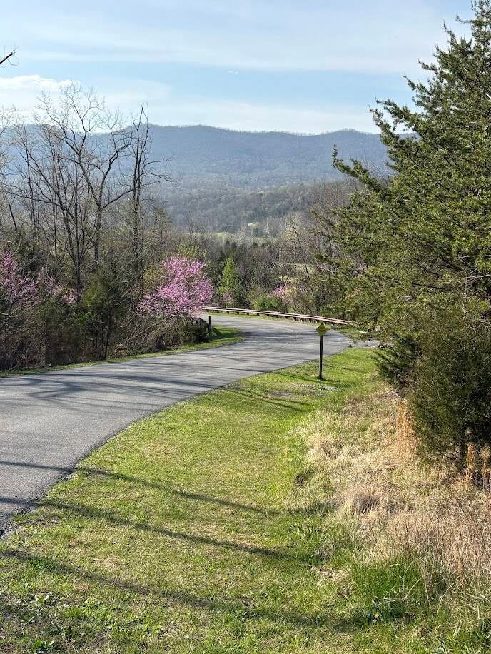
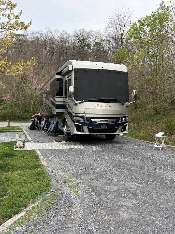
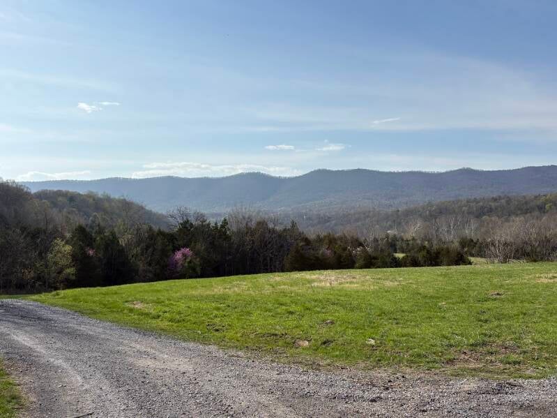
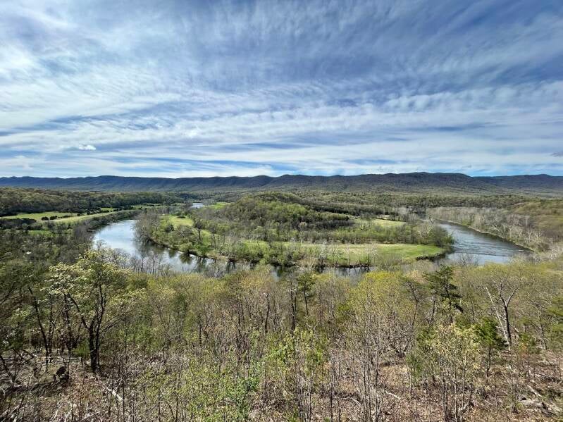
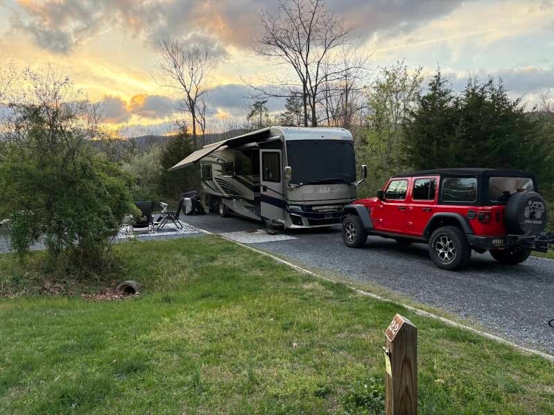
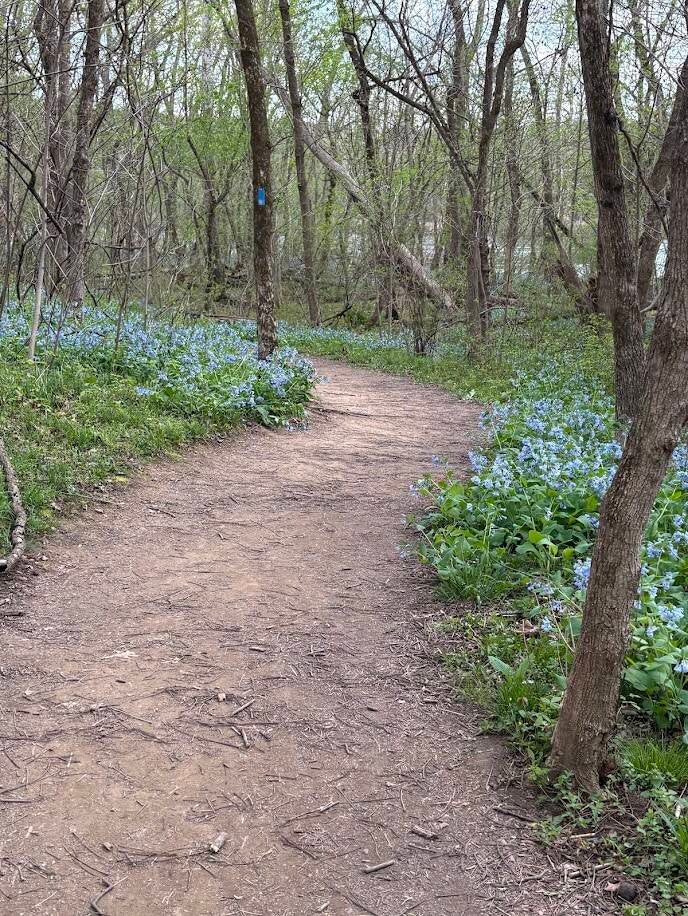
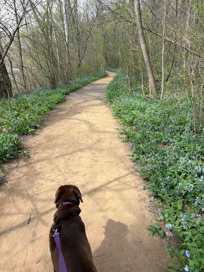
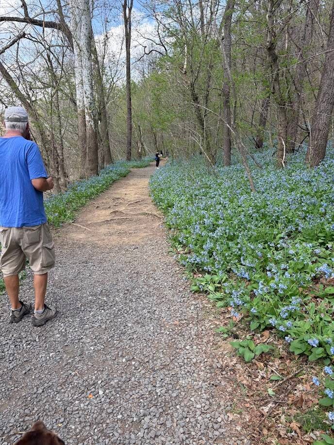
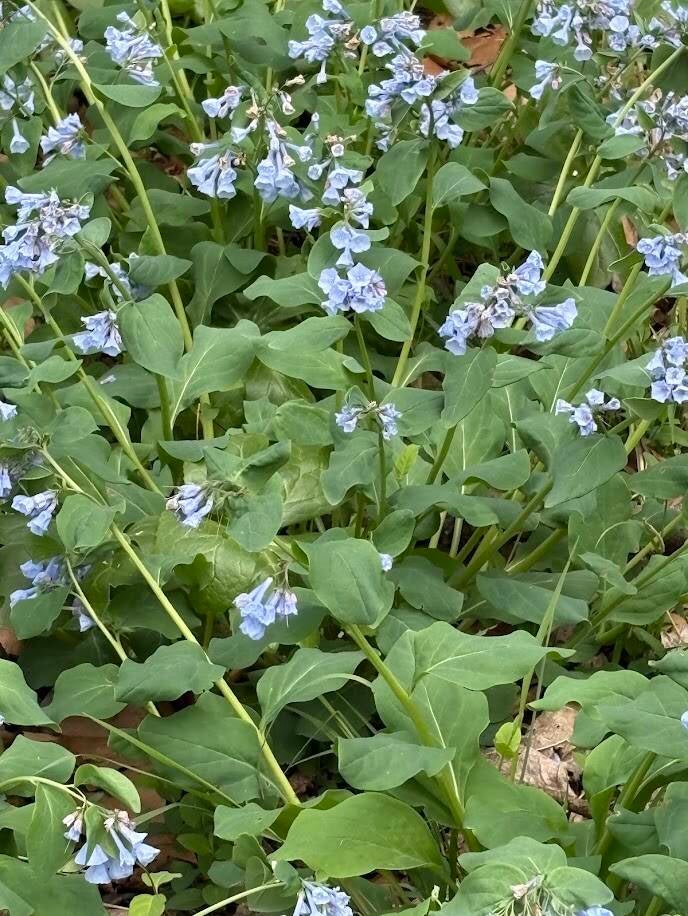
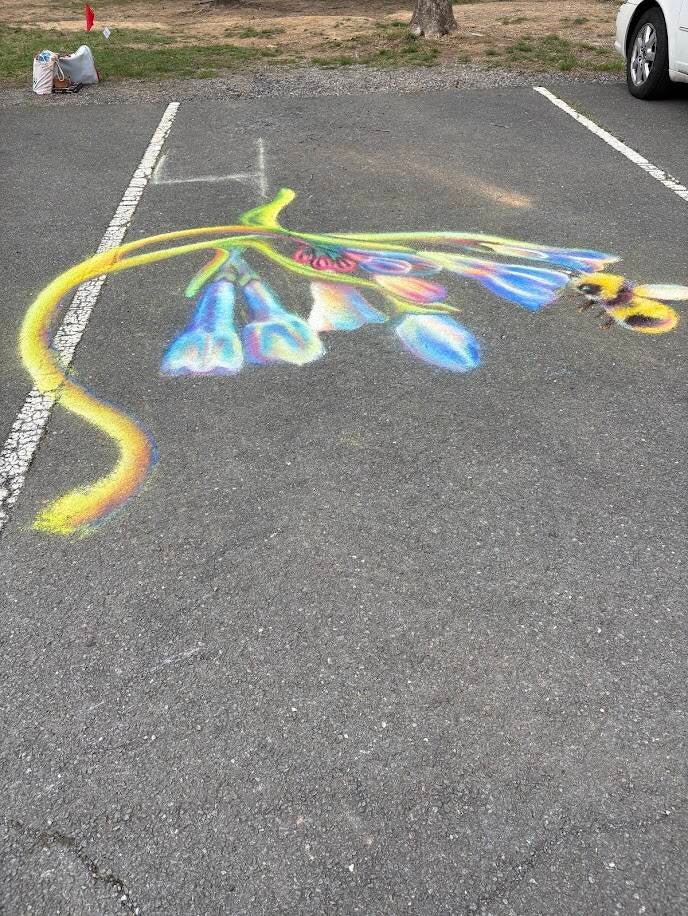
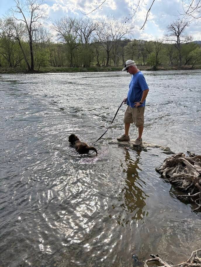
This park is near the town of Bentonville, VA. The park was established in 1994 and covers 1,619 acres along the South Fork Shenandoah River. It was named to Virginia Delegate Andy Guest, long time resident of the area. The park offers RV sites looking out to the mountains, beautiful walking trails, views of the famous Bluebell plants and the river. We could venture into the Shenandoah National Park in about a half hour drive. During our stay there was a Bluebell Festival with craft vendors and food trucks. We took a walk over on the Bluebell trail and enjoyed seeing the flowers and the festival.
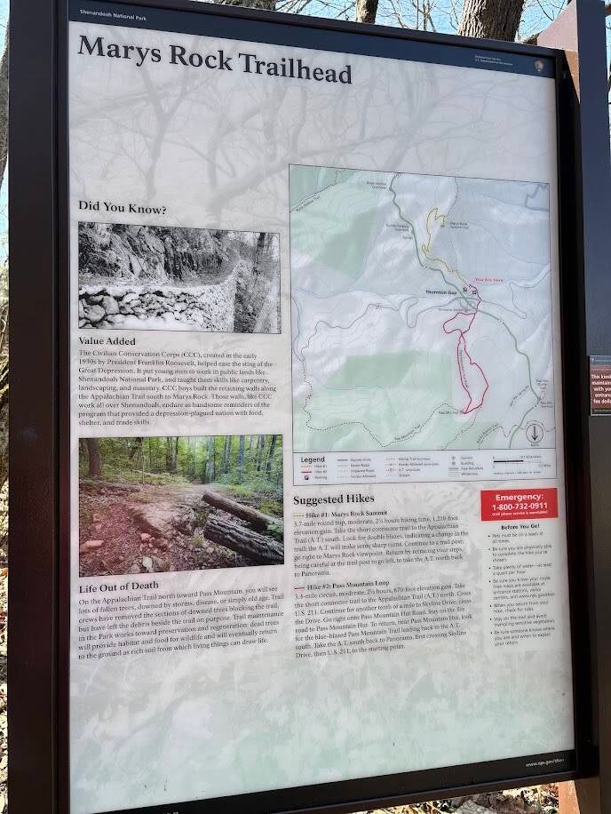
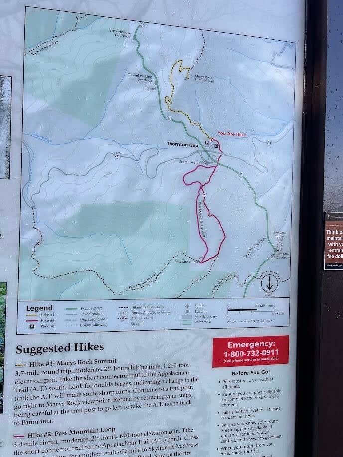
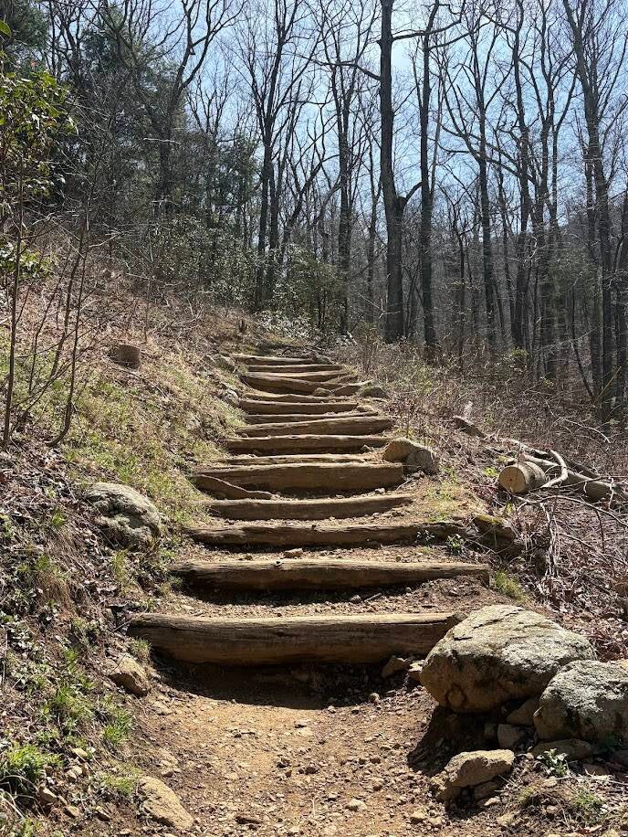
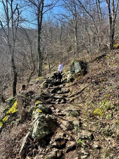
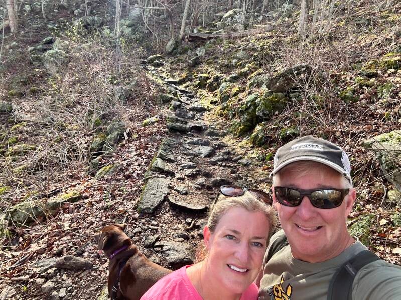
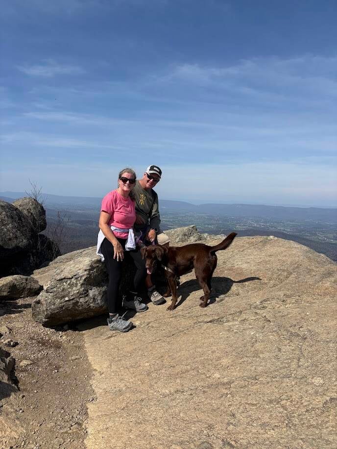
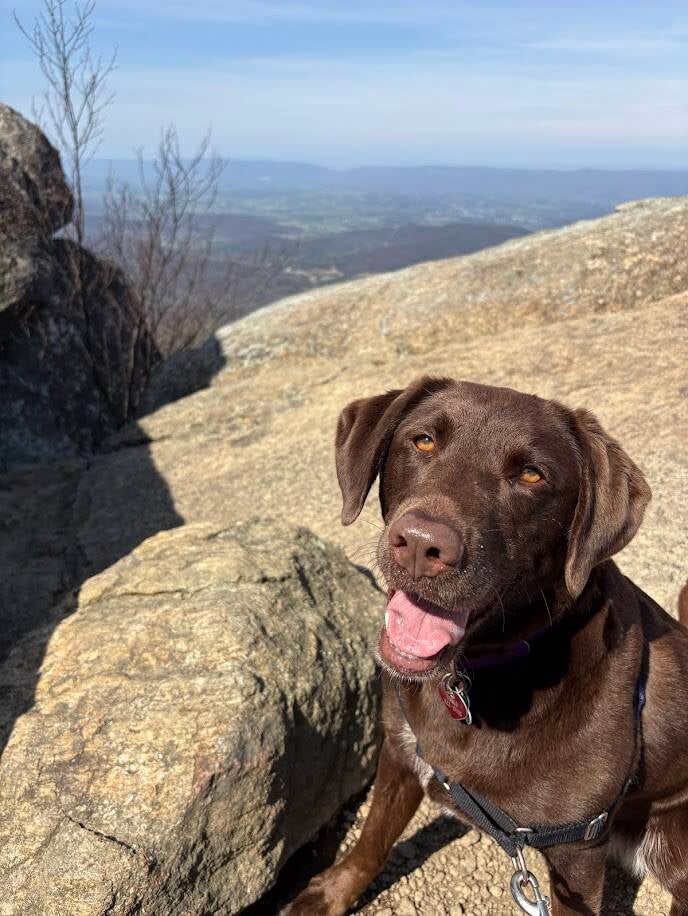
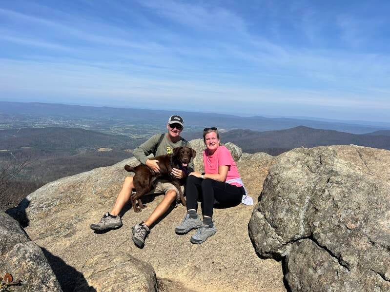
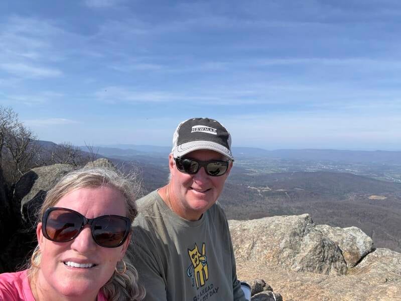
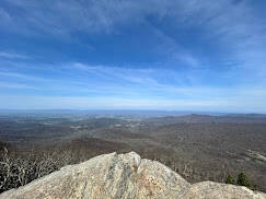
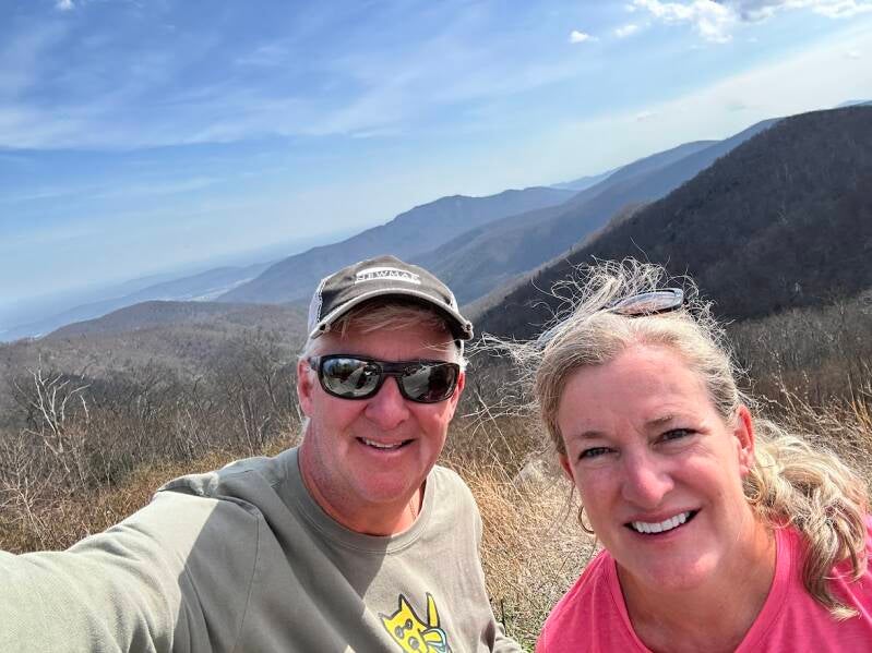
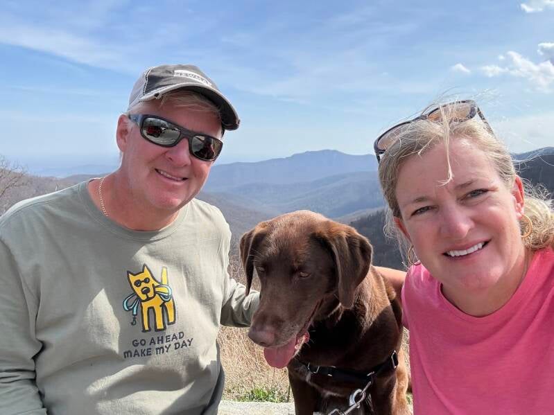
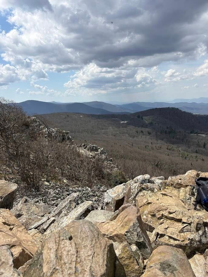
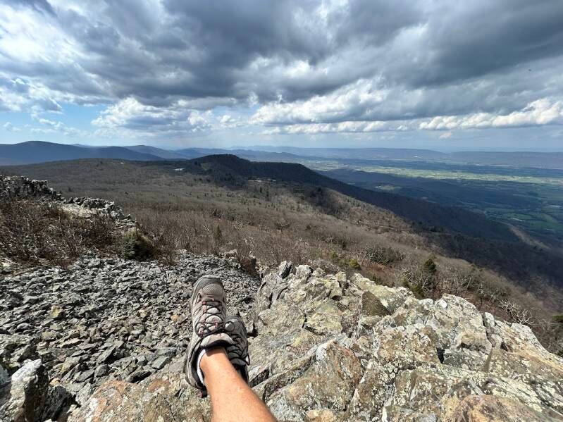
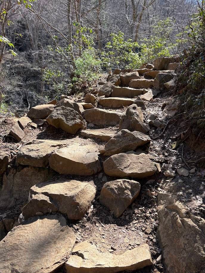
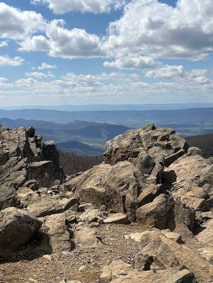
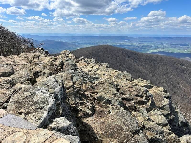
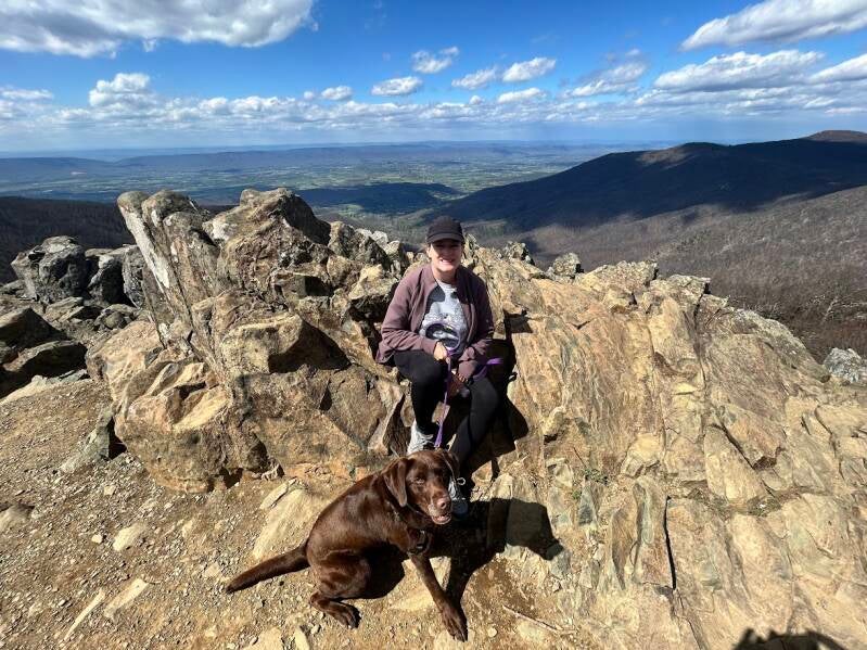
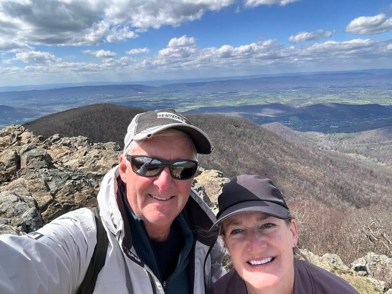
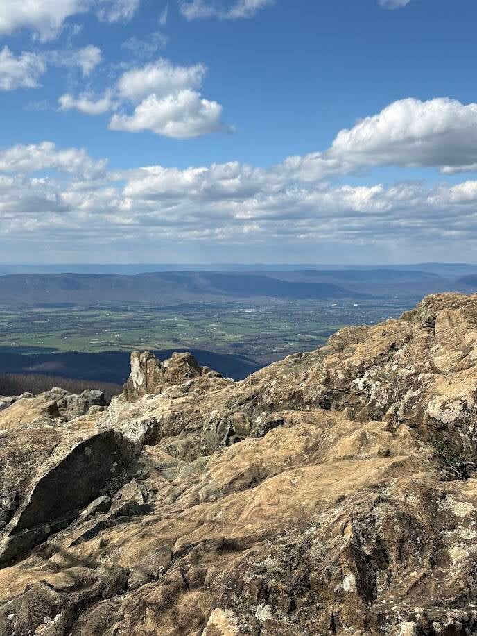
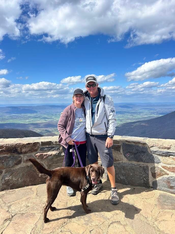
Mary's Rock Summit Hike
3.7 mile round trip hike. Moderate difficulty and 1,210 foot elevation gain.
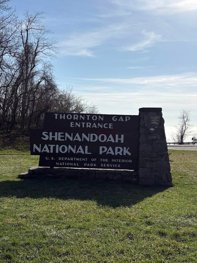
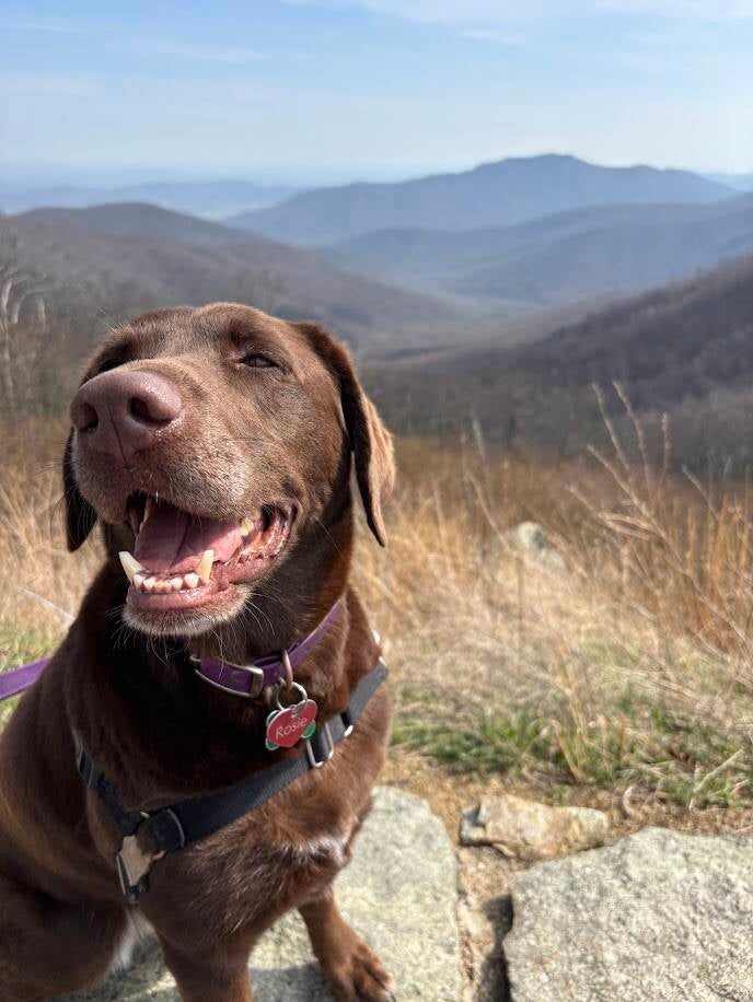
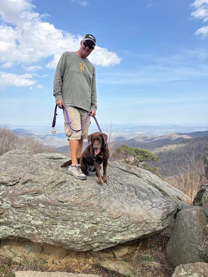
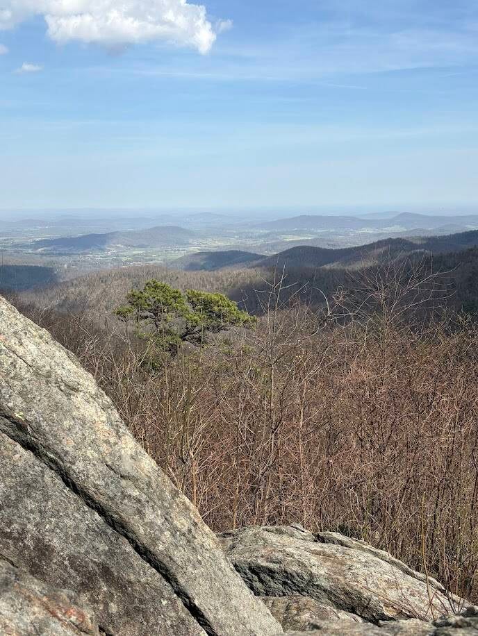
This hike offers a steady uphill climb through a forest that opens up to big views at the top. The first section is a gradual climb and even includes portions on the Appalachian Trail. The middle gets rockier and steeper as you climb. The final stretch to the summit is a bit of a push uphill. The summit offers views of the northern section of the park, Shenandoah Valley and Massanutten Mountain. It is located near Thorton Gap. We enjoyed the view and a rest at the top before setting off back down the way we came.
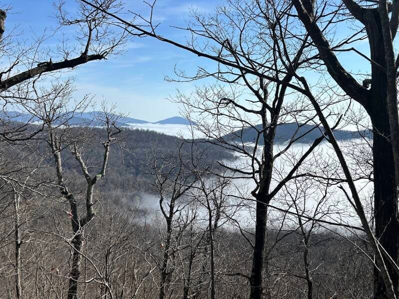
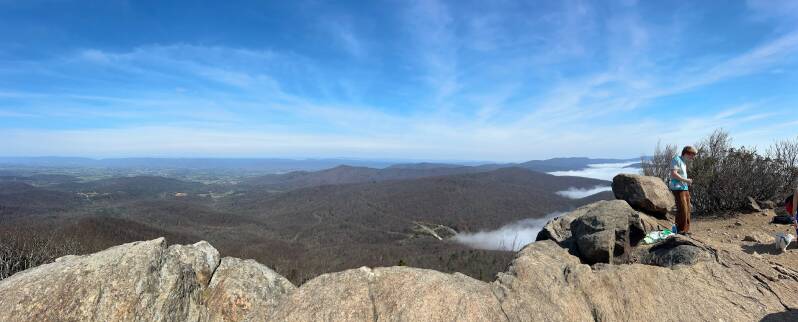
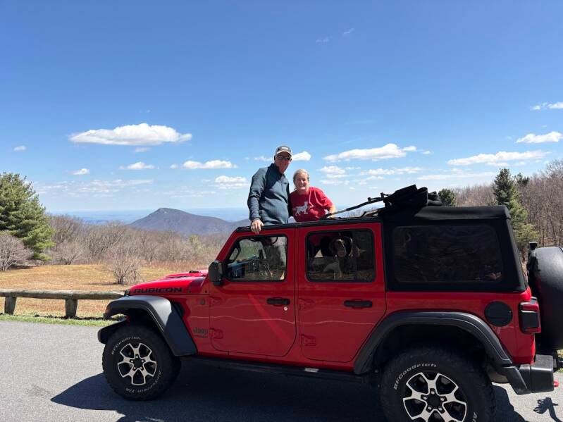
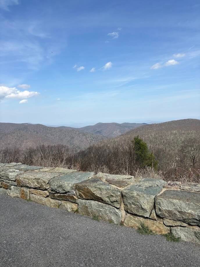
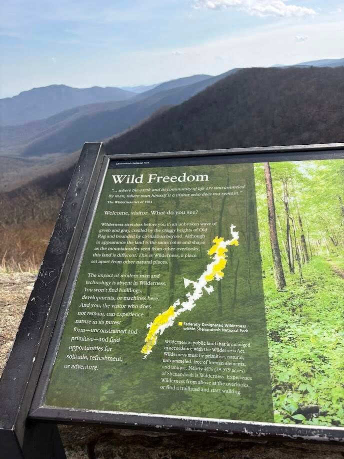
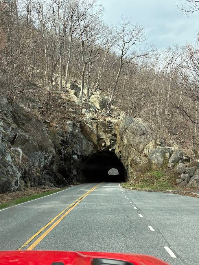
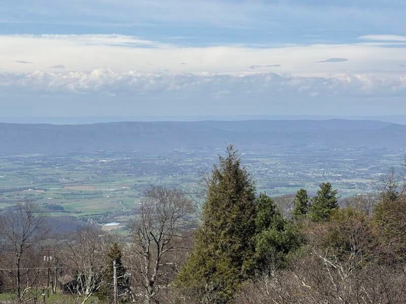
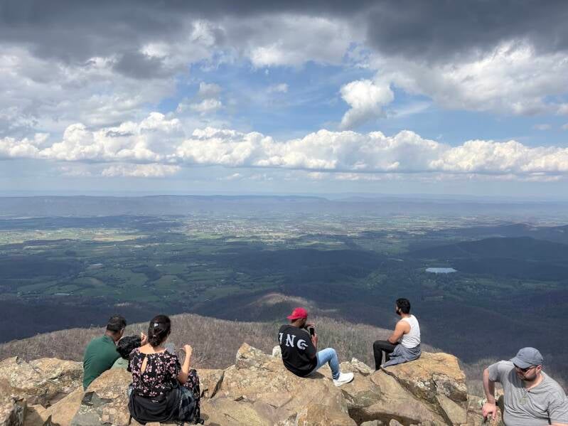
Views from Skyline Drive and Outlooks
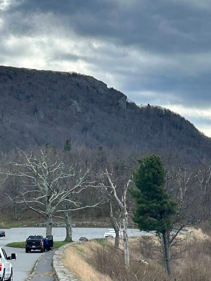
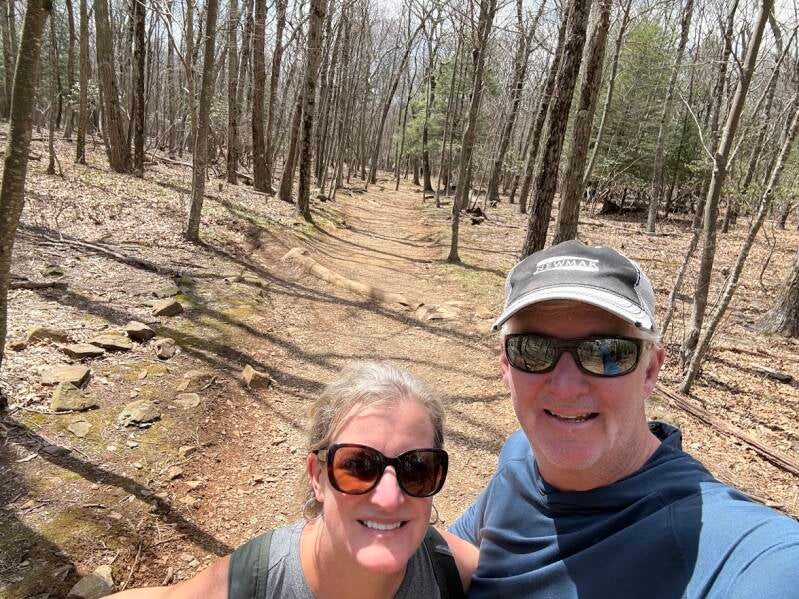
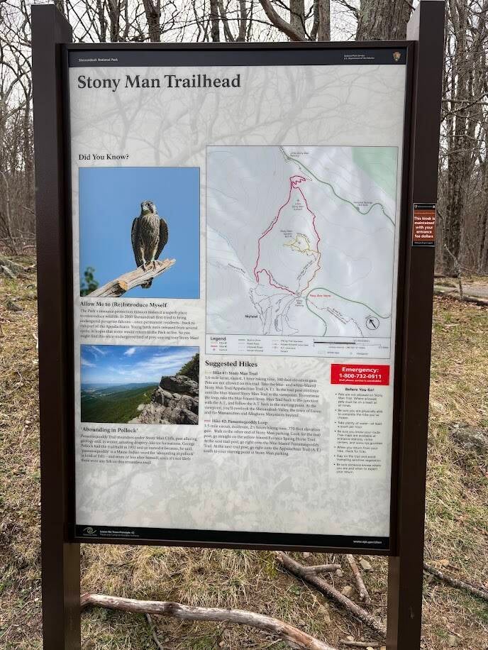
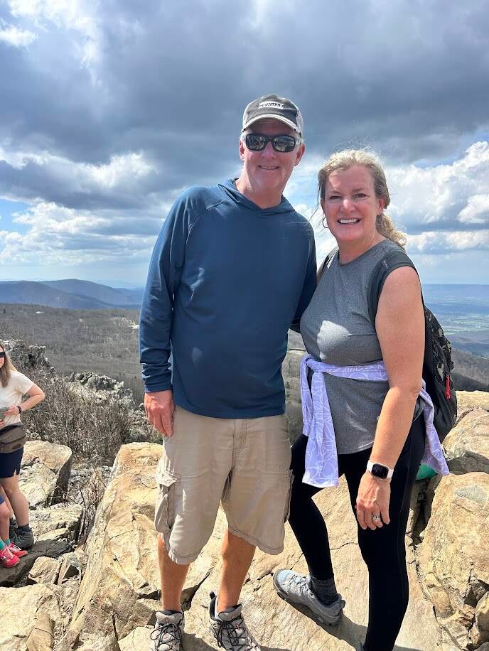
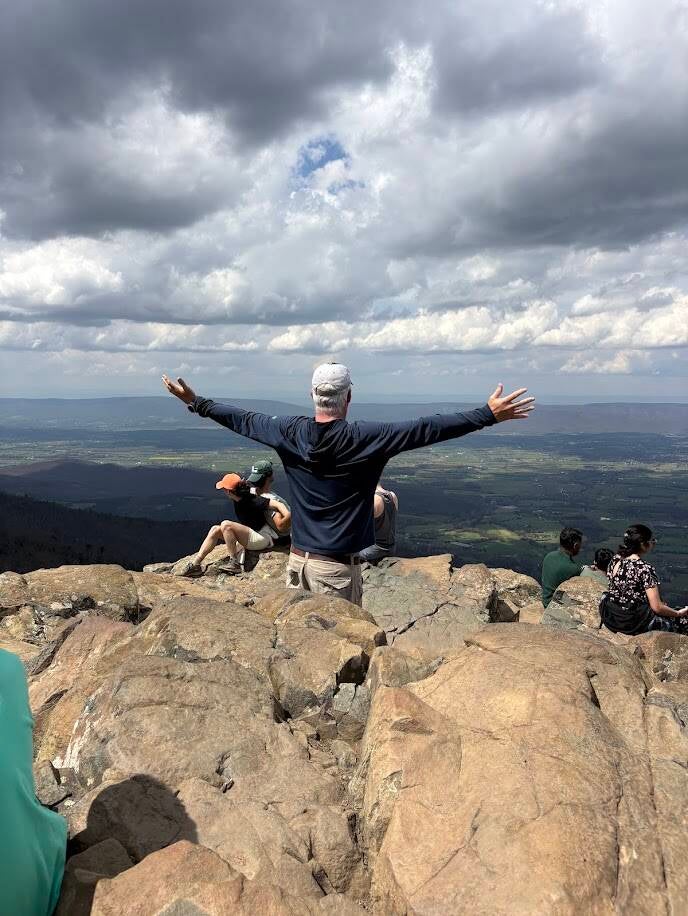
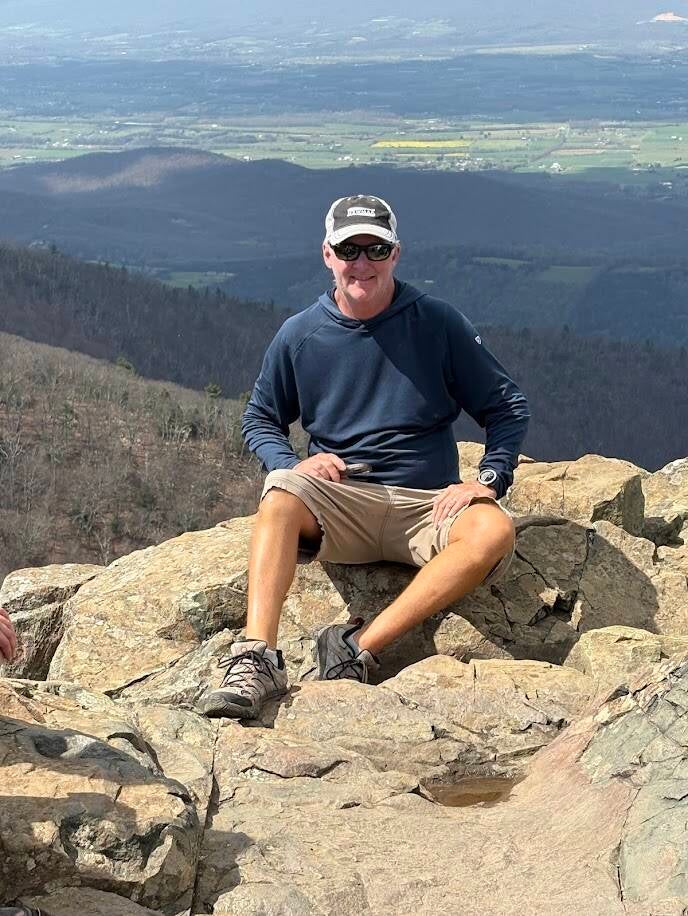
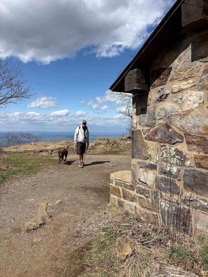
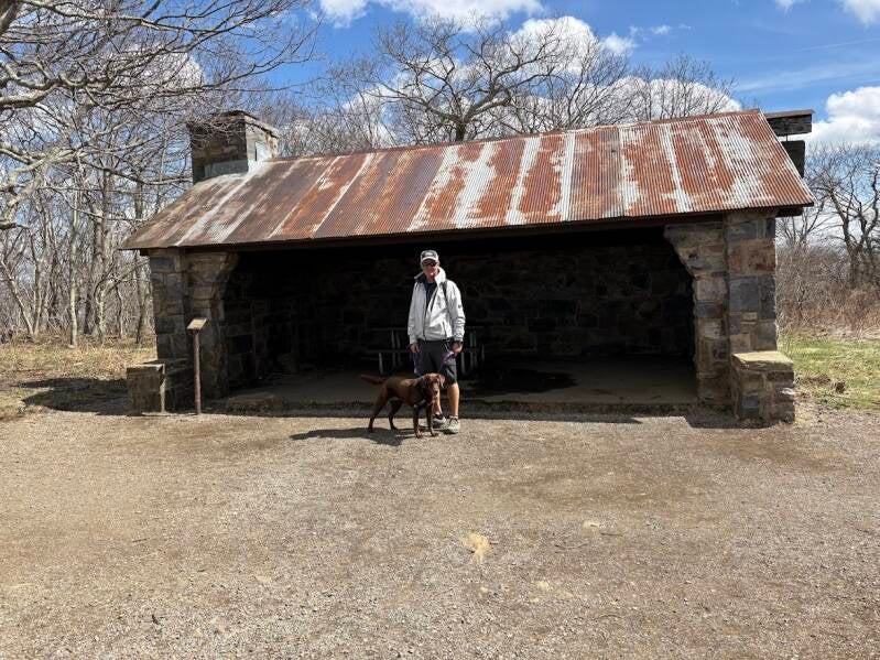
Stony Man Hike
1.6 mile circuit hike. Easy level of difficulty. 340 foot elevation gain.
This hike is one of the easiest ways to get a big mountain view. The trail is a relaxed walk with a reward of a beautiful view. No long or steep treks. It begins near Skyland and follows part of the Appalachian Trail. It is mostly wide, well maintained paths through the shady forest. At the top, you reach a rocky overlook with sweeping views of the Shenandoah Valley and Massanutten Mountain. It feels elevated without too much hard work to get to.
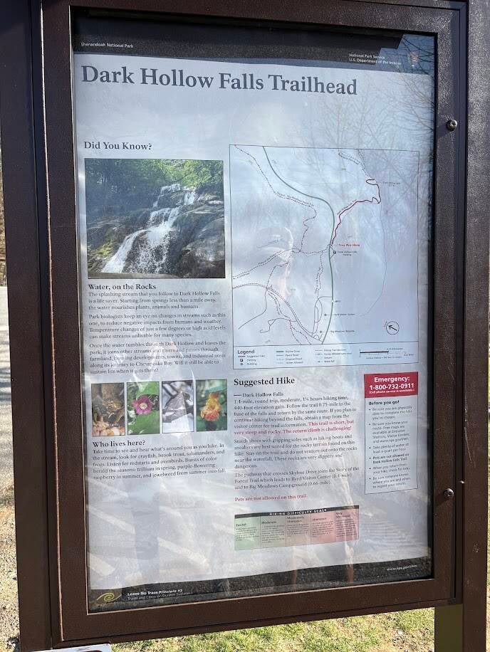
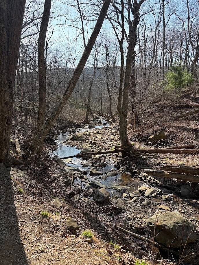
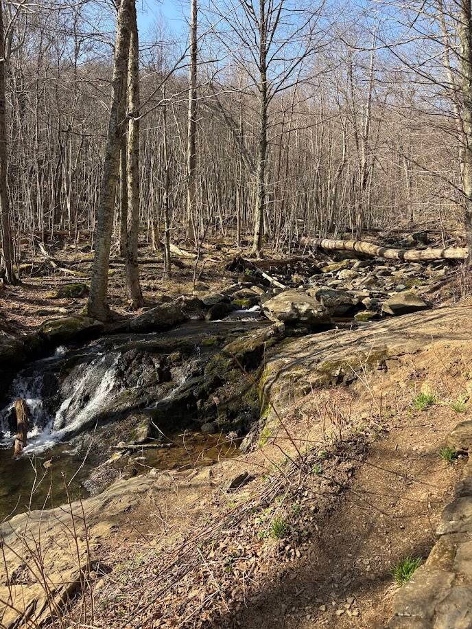
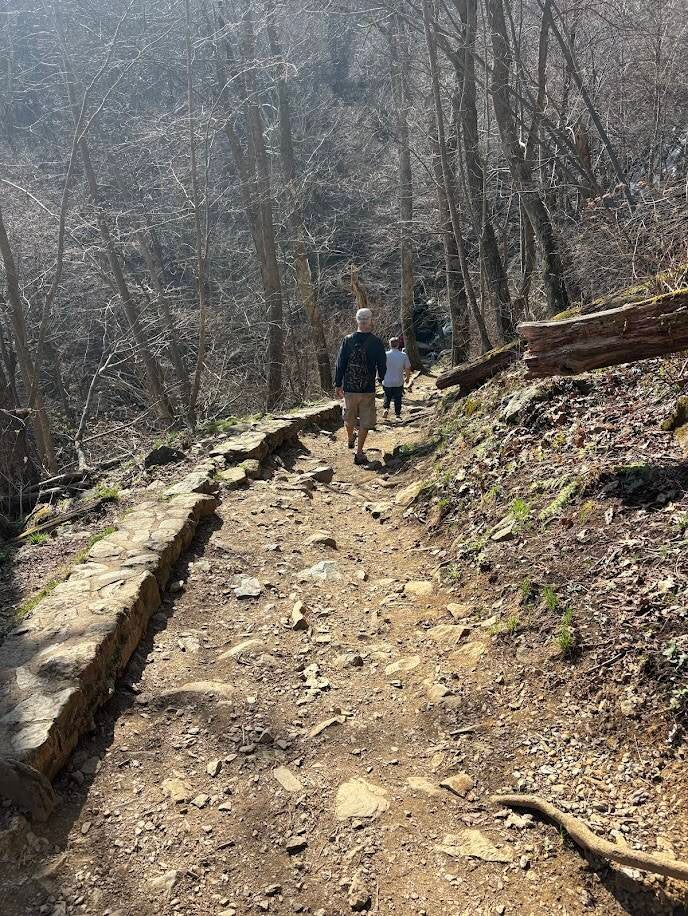
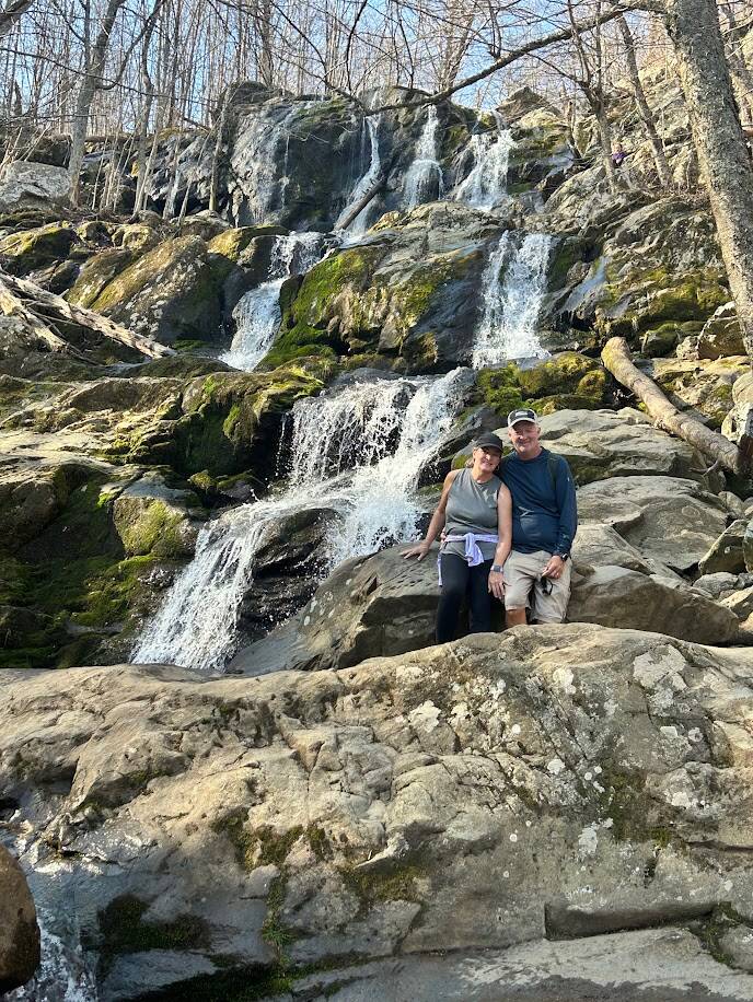
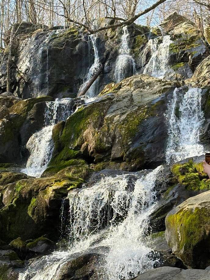
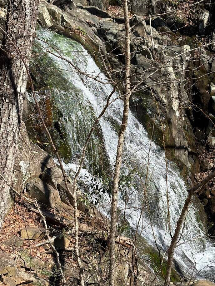
Dark Hollow Falls Hike
1.4 mile round trip. Moderate difficulty. 290 foot elevation gain.
This is one of the park's most popular and rewarding short hikes. It is short but is an easier downhill hike to a 70 foot cascading waterfall with a steep hike to return.
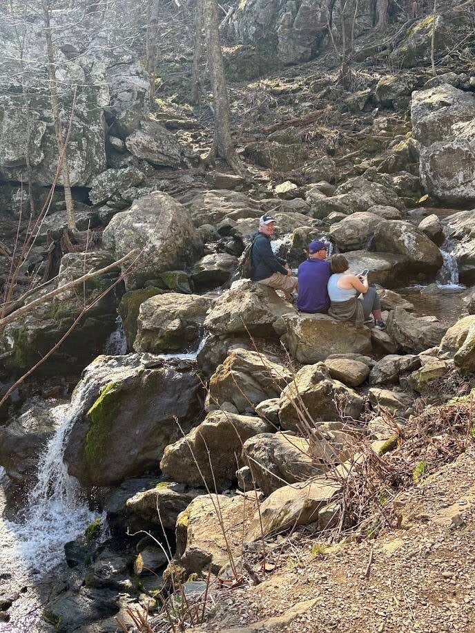
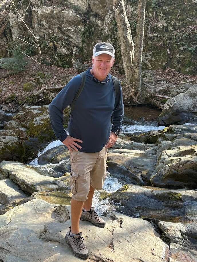
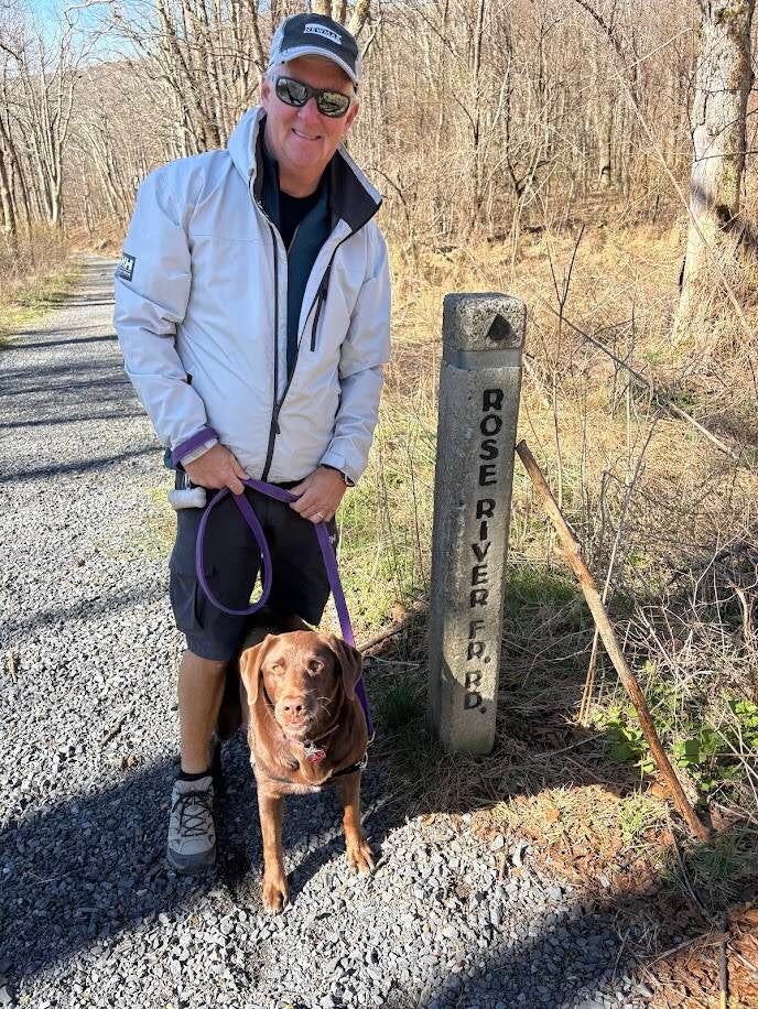
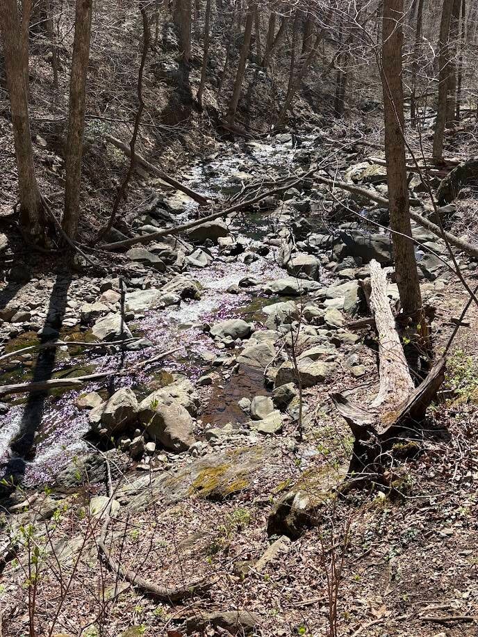
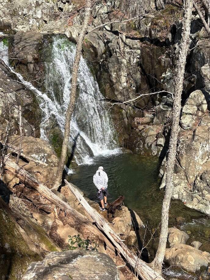
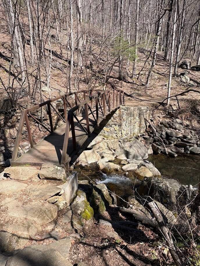
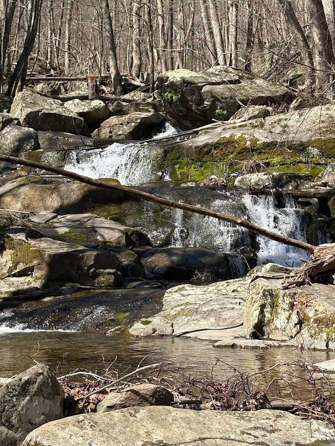
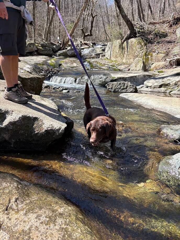
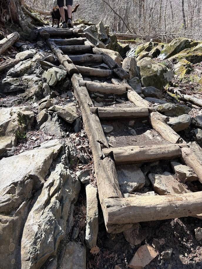
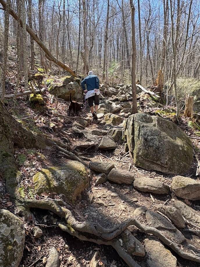
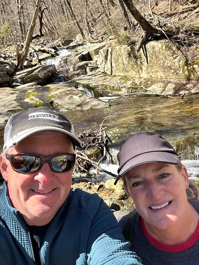
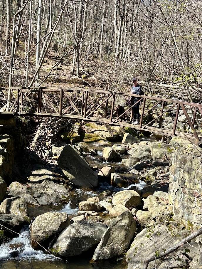
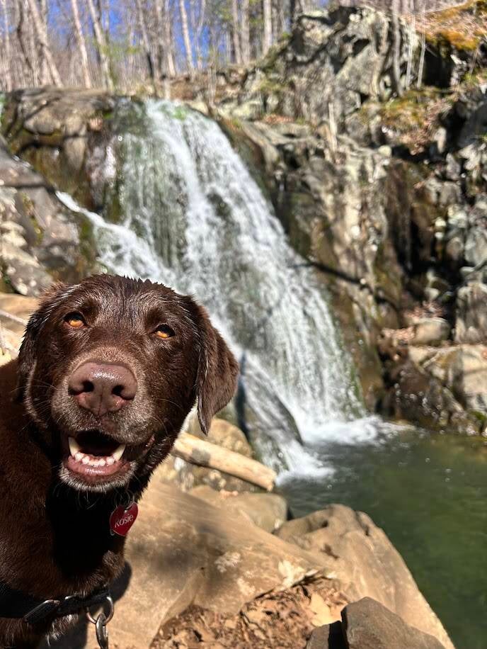
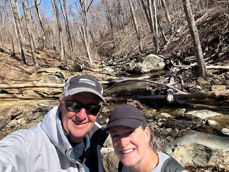
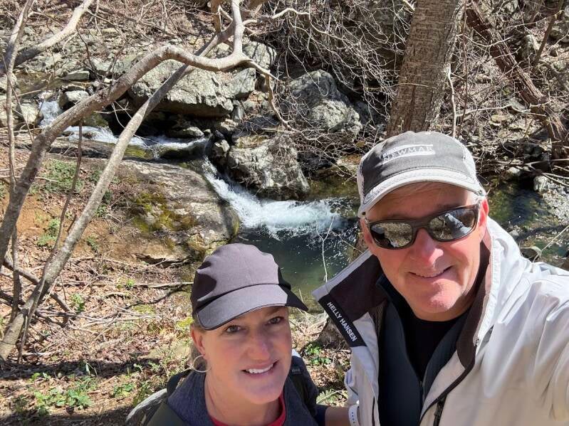
Rose River Loop Hike
4 mile round circuit. Moderate dificulty. 910 foot elevation gain.
This is considered one of the most scenic hikes in the park. It is a beautiful mix of waterfalls, stream walking and peaceful forest. It is a longer immersive hike where you're surrounded by water for much of the route.
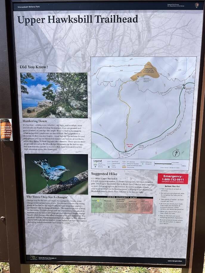
Upper Hawksbill Trailhead


Create Your Own Website With Webador